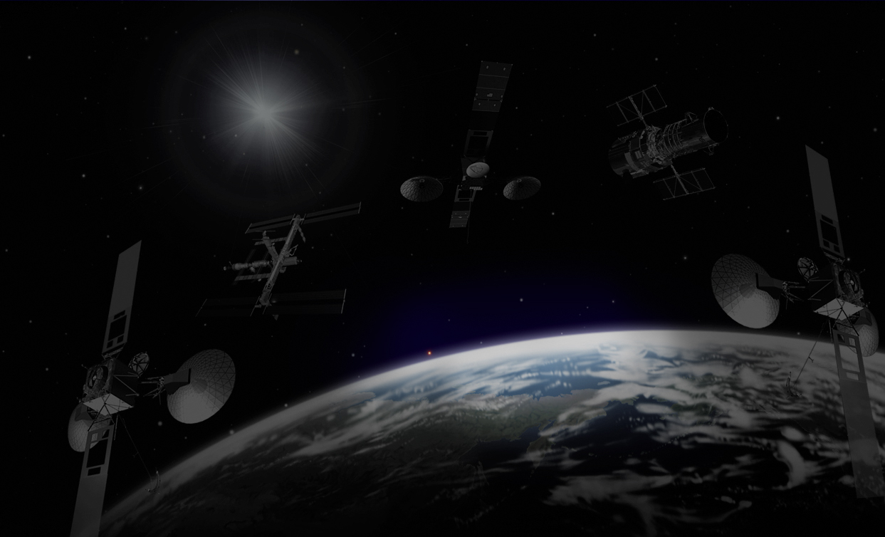
Best-in-Class Remote Sensing and Imagery Science Services.
We are a Service-Disabled Veteran Owned Small Business (SDVOSB)
![]()
At Solis we understand applied remote sensing from energetic signatures through product visualization.
Our scientists have developed critical solutions for our customers by building and applying our expertise in these select areas:
Signature Acquisition, Measurement and Analysis
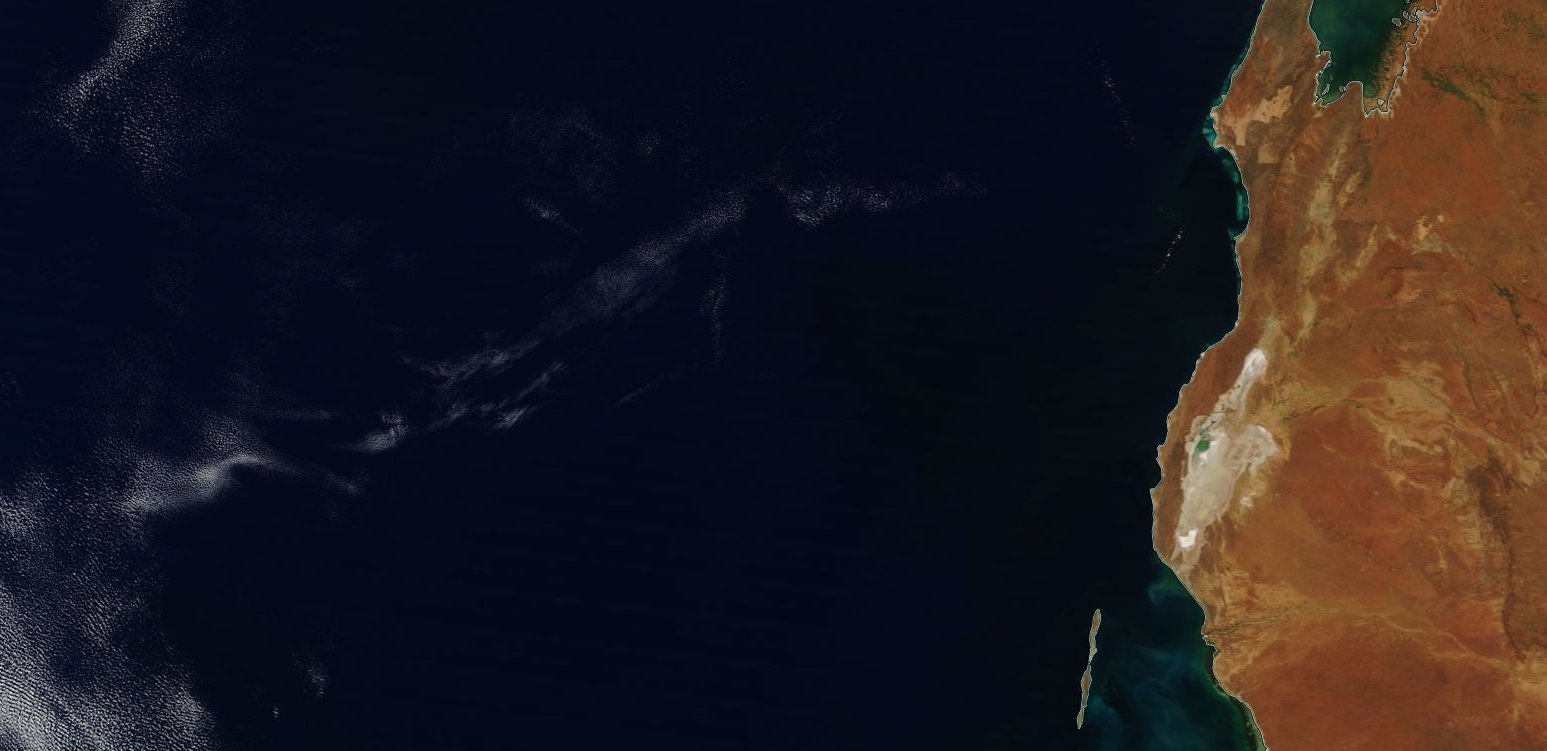
Our team possesses extraordinary abilities to acquire and exploit complex signatures with state of the art, full-range instrumentation and capitalize on our industry recognized expertise to quantify and validate this complex data. Our scientists and analysts have over 20 years of experience providing support to signature collection from laboratory clean rooms to austere environments. Our team has collected over 6000 unique full-range hyperspectral signatures assisting our customers in innovating proven processes, operationalizing analytical ideas and exploring new mission areas.
Scientific Methodology
Using sound science and novel approaches, we deconstruct the phenomenology of an event, material, or effluent and develop solid methodologies to provide our customers a blueprint for success. This step in the remote sensing continuum provides increased value by developing unique strategies to close the loop on the most challenging requirements. We offer novel workflow solutions to decrease the level of scientist interaction in the analytical process and accelerate the data collection-to-dissemination cycle.
Tool Development
We provide innovative remote sensing applications to solve our customers’ most difficult problems and increase efficiency. Our developers work together with our applied science staff to enhance and refine algorithms, tools and applications, resulting in systems and products tailored to our customers’ detailed requirements. Experienced has proven this holistic approach reduces the development cycle and ensures more robust, accurate and stable end products at an effective cost. Our tools and algorithms are focused to quantitatively measure, verify, and validate complex data, characterize materials, and assist the end user with injecting scientifically authenticated information into their decision process.
System Validation
Through scientific rigor, our state of the art solutions enable our customers to operationalize advanced remote sensing systems, sensors, and data sources to enhance their current capabilities. We have a solid history of providing systems engineering and technical support for test, evaluation and certification of ground, aerial and space-based remote sensing platforms. We have experience developing, conducting and executing validation experiments for any platform, in any environment, at any location.
Data collection
We advise on optimal collection parameters to allow dynamic use of our customers’ always limited resources. Our team has a wealth of knowledge supporting remote sensing system collections and can design, plan, and implement multi-modal collection schemes. Our collection solutions efficiently leverage the latest techniques of applied science to convert raw digits into high-fidelity data, satisfying customer needs. We are well versed in complete end-to-end mission planning; including sensor calibration, ground and airborne sensor operation, real-time data collection, sensor calibration and atmospheric compensation. The team has also collected all supporting test and evaluation data for advanced remote sensing systems. We can assist our customers with collection of supporting weather data, ground control points, and we are experts with all aspects of ground truth sensor operations.
Exploitation
We can derive maximum utility from any data source by applying our deep-rooted experience in non-literal exploitation methodologies, acquired from many decades of hands-on experience. Our pioneering applications in remote sensing have assisted our customers to expand their capabilities and capitalize on their potential. By applying innovative exploitation processes we are able to accurately discriminate, locate and identify intricate clues in complex data, allowing our customers to disseminate confident and accurate information to end users. This allows for rapid turnaround of concepts and new missions not previously considered attainable.
Mission Statement
Solis Applied Science is a small business specializing in full-spectrum remote sensing and image science services for Federal, Civil and commercial customers. Our innovative, technology-based solutions for planning, collection and analysis of scientific data help produce practical answers for some of our customers most complex questions. The Solis team offers expertise in algorithm development, data visualization and the physical sciences. Through developing novel applications and methods, our clients are able to make better calculated decisions and strategically manage dynamic challenges.

Solis Careers
- Program Manager
- Imagery Scientist
- Remote Sensing Analyst
- Software Developer
- View open positions
Contact Us
If you have any questions or would like to learn more, please contact us
995 Research Park Boulevard, Suite 118
Charlottesville VA 22911
Email: info@solisscience.com